Geolocate

Rossburn topographic map

Click on the map to display elevation.

About this map

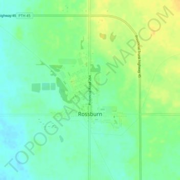
Name: Rossburn topographic map, elevation, terrain.

Location: Rossburn, Rossburn Municipality, Manitoba, Canada (50.66090 -100.82245 50.68294 -100.79900)

Average elevation: 1,939 ft

Minimum elevation: 1,903 ft

Maximum elevation: 1,985 ft

Gear up for your next adventure:

🥾Hiking Shoes - Durable and comfortable shoes for trail hiking
🌄Hiking Binoculars - Compact binoculars for scenic views and trail spotting
🛡️Insect Repellent - Protection against bugs during outdoor activities
👟Trail Running Shoes - Lightweight shoes for trail runners
🧣Merino Neck Gaiters - Multi-functional headwear for wind and sun protection

As an Amazon Associate, this site earns from qualifying purchases at no extra cost to you.