Geolocate

Cornell Rouge Woods topographic map

Click on the map to display elevation.

About this map

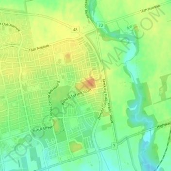
Name: Cornell Rouge Woods topographic map, elevation, terrain.

Location: Cornell Rouge Woods, Cornell, Markham, York Region, Golden Horseshoe, Ontario, Canada (43.89169 -79.21938 43.89407 -79.21474)

Average elevation: 669 ft

Minimum elevation: 610 ft

Maximum elevation: 728 ft

Other topographic maps

Click on a map to view its topography, its elevation and its terrain.

Rouge River

Canada > Ontario > York Region > Markham

Average elevation: 643 ft

Toogood Pond

Canada > Ontario > York Region > Markham

Average elevation: 597 ft

Gear up for your next adventure:

🪶Thermal Camp Blanket - Extra warmth for cold nights
🧼Biodegradable Camping Soap - Eco‑friendly soap for outdoor hygiene
🌡️Handheld Weather Meters - Measure wind, temp, and pressure for safe mountain travel
🧦Merino Wool Socks - Moisture-wicking, blister-preventing socks for long treks
🔥Plasma Lighters - Windproof lighters that work in any weather condition

As an Amazon Associate, this site earns from qualifying purchases at no extra cost to you.