Geolocate

Calabogie Lake topographic map

Click on the map to display elevation.

About this map

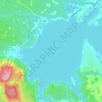
Name: Calabogie Lake topographic map, elevation, terrain.

Location: Calabogie Lake, Calabogie, Greater Madawaska, Renfrew County, Eastern Ontario, Ontario, Canada (45.24989 -76.77798 45.30367 -76.70367)

Average elevation: 594 ft

Minimum elevation: 479 ft

Maximum elevation: 1,217 ft

Other topographic maps

Click on a map to view its topography, its elevation and its terrain.

Gear up for your next adventure:

🦟Ultrasonic Repellers - Create a bug-free zone at your camp or rest stop
🌧️Backpack Rain Cover - Keep gear dry in wet weather
❄️Traction Cleats - Prevent slips on icy trails during winter hikes
🏕️Tent Footprint - Protect your tent base from wear
🚪Portable Camp Chair - Foldable chair for comfort at camp

As an Amazon Associate, this site earns from qualifying purchases at no extra cost to you.