Geolocate

Bevil Oaks topographic map

Click on the map to display elevation.

About this map

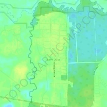
Name: Bevil Oaks topographic map, elevation, terrain.

Location: Bevil Oaks, Jefferson County, Texas, United States (30.13352 -94.27993 30.17104 -94.26367)

Average elevation: 30 ft

Minimum elevation: 3 ft

Maximum elevation: 56 ft

Jefferson County trails, hiking, mountain biking, running and outdoor activities

Other topographic maps

Click on a map to view its topography, its elevation and its terrain.

Beaumont

United States > Texas > Jefferson County > Beaumont

Average elevation: 20 ft

Neches River

United States > Texas > Jefferson County

Average elevation: 10 ft

Zummo

United States > Texas > Jefferson County > Beaumont

Average elevation: 20 ft

Sunnyside

United States > Texas > Jefferson County > Beaumont

Average elevation: 23 ft

Amelia

United States > Texas > Jefferson County > Beaumont > Amelia

Average elevation: 30 ft

Gear up for your next adventure:

🧦Hiking Socks - Comfortable socks to prevent blisters on long hikes
🪶Paracord Bracelet - Survival bracelet with built‑in tools
🧭GPS Watch Accessories - Bands and chargers for GPS watches
🔦Powerful Headlamps - Ultra-bright hands-free lighting for night navigation
🚗GPS Dash Cams - Record your scenic drives through mountain passes and canyons

As an Amazon Associate, this site earns from qualifying purchases at no extra cost to you.