
landslide topographic map
Click on the map to display elevation.
About this map
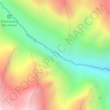
Name: landslide topographic map, elevation, terrain.
Location: landslide, Makalu, Sankhuwasabha, Koshi Province, Nepal (27.72587 87.19242 27.73325 87.20708)
Average elevation: 12,493 ft
Minimum elevation: 10,531 ft
Maximum elevation: 14,872 ft
Other topographic maps
Click on a map to view its topography, its elevation and its terrain.