
Thank you for supporting this site ❤️
Make a donation
Make a donation
Gear up for your next adventure:
As an Amazon Associate, this site earns from qualifying purchases at no extra cost to you.
Kindersley topographic map
Click on the map to display elevation.
Thank you for supporting this site ❤️
Make a donation
Make a donation
Gear up for your next adventure:
As an Amazon Associate, this site earns from qualifying purchases at no extra cost to you.
About this map
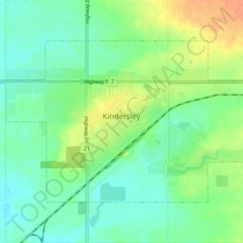
Name: Kindersley topographic map, elevation, terrain.
Location: Kindersley, Division No. 13, Saskatchewan, S0L 1S0, Canada (51.45310 -109.19170 51.48230 -109.12145)
Average elevation: 2,238 ft
Minimum elevation: 2,195 ft
Maximum elevation: 2,313 ft
Thank you for supporting this site ❤️
Make a donation
Make a donation
Gear up for your next adventure:
As an Amazon Associate, this site earns from qualifying purchases at no extra cost to you.