
Agur Lake topographic map
Click on the map to display elevation.
About this map
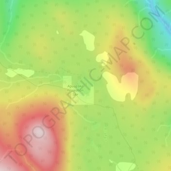
Name: Agur Lake topographic map, elevation, terrain.
Average elevation: 3,865 ft
Minimum elevation: 3,127 ft
Maximum elevation: 4,564 ft
Other topographic maps
Click on a map to view its topography, its elevation and its terrain.
Faulder
Canada > British Columbia > Regional District of Okanagan-Similkameen > Area F (Trout Creek Valley)
Average elevation: 2,789 ft
Isintok Mountain
Canada > British Columbia > Regional District of Okanagan-Similkameen > Area F (Trout Creek Valley)
Average elevation: 5,705 ft