
Union Center topographic map
Click on the map to display elevation.
About this map
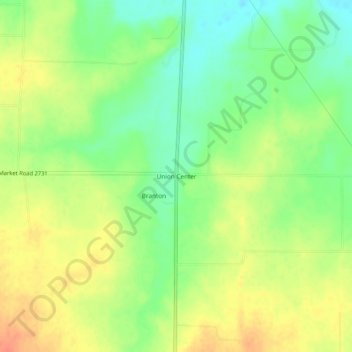
Name: Union Center topographic map, elevation, terrain.
Location: Union Center, Eastland County, Texas, United States (32.15069 -98.98062 32.19069 -98.94062)
Average elevation: 1,604 ft
Minimum elevation: 1,529 ft
Maximum elevation: 1,680 ft
Eastland County trails, hiking, mountain biking, running and outdoor activities
Other topographic maps
Click on a map to view its topography, its elevation and its terrain.