
Make a donation
Gear up for your next adventure:
As an Amazon Associate, this site earns from qualifying purchases at no extra cost to you.
Bear Mountain topographic map
Click on the map to display elevation.
Make a donation
Gear up for your next adventure:
As an Amazon Associate, this site earns from qualifying purchases at no extra cost to you.
About this map
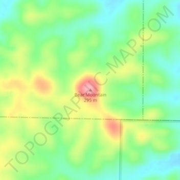
Name: Bear Mountain topographic map, elevation, terrain.
Location: Bear Mountain, Reynolds County, Missouri, United States (37.05472 -90.78962 37.05482 -90.78952)
Average elevation: 725 ft
Minimum elevation: 577 ft
Maximum elevation: 951 ft
Reynolds County trails, hiking, mountain biking, running and outdoor activities
Make a donation
Gear up for your next adventure:
As an Amazon Associate, this site earns from qualifying purchases at no extra cost to you.
Other topographic maps
Click on a map to view its topography, its elevation and its terrain.
Current River Conservation Area
United States > Missouri > Reynolds County > Ellington
Average elevation: 820 ft