Geolocate

Phulara topographic map

Click on the map to display elevation.

About this map

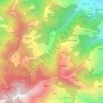
Name: Phulara topographic map, elevation, terrain.

Location: Phulara, Khajjiar, Chamba, Himachal Pradesh, 176312, India (32.52822 76.05469 32.56822 76.09469)

Average elevation: 5,781 ft

Minimum elevation: 3,415 ft

Maximum elevation: 7,877 ft

Gear up for your next adventure:

👟Trail Running Shoes - Lightweight shoes for trail runners
🎁Geography Themed Gifts - Unique gift ideas for map lovers and geography enthusiasts
🧢Outdoor Hiking Hat - Sun protection hat for outdoor explorers
🩳Quick‑Dry Hiking Shorts - Comfortable and quick‑dry shorts for summer hiking
👓Polarized Sunglasses - Outdoor sunglasses for glare reduction

As an Amazon Associate, this site earns from qualifying purchases at no extra cost to you.