Geolocate

Acorn topographic map

Click on the map to display elevation.

About this map

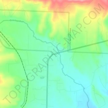
Name: Acorn topographic map, elevation, terrain.

Location: Acorn, Polk County, Arkansas, United States (34.62288 -94.22104 34.66288 -94.18104)

Average elevation: 1,152 ft

Minimum elevation: 1,010 ft

Maximum elevation: 1,421 ft

Other topographic maps

Click on a map to view its topography, its elevation and its terrain.

Mena

United States > Arkansas > Polk County

Average elevation: 1,165 ft

Cove

United States > Arkansas > Polk County

Average elevation: 1,024 ft

Mena

United States > Arkansas > Polk County

Average elevation: 1,165 ft

Ouachita River

United States > Arkansas > Polk County > Rich Mountain

Average elevation: 1,896 ft

Gear up for your next adventure:

Backpacking Tents - Weight-optimized shelters for multi-day topographic surveys
💧Water Purification System - Clean water on the trail with reliable purifiers
⛑️Personal Locator Beacon - Safety beacon for emergencies
🧭Compass with Lanyard - Easy‑carry compass for navigation
🪶Paracord Bracelet - Survival bracelet with built‑in tools

As an Amazon Associate, this site earns from qualifying purchases at no extra cost to you.