
Trout Run topographic map
Click on the map to display elevation.
About this map
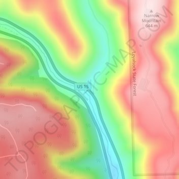
Name: Trout Run topographic map, elevation, terrain.
Average elevation: 1,545 ft
Minimum elevation: 801 ft
Maximum elevation: 2,113 ft
Lycoming County trails, hiking, mountain biking, running and outdoor activities
Other topographic maps
Click on a map to view its topography, its elevation and its terrain.
Steam Valley
United States > Pennsylvania > Lycoming County > Cogan House Township
Average elevation: 1,768 ft
Pine Township
United States > Pennsylvania > Lycoming County
The villages of Oregon Hill and English Center were founded by survivors of the failed English Settlement. Oregon Hill, at an elevation of 1,700 feet (520 m) in the northern part of the township, was the location of two churches, a blacksmith shop, and two stores along with several homes. The settlers of…
Average elevation: 1,617 ft