
Kimberly Park topographic map
Interactive map
Click on the map to display elevation.
About this map
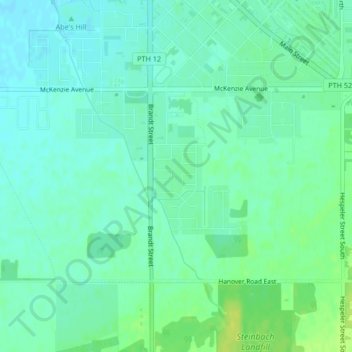
Name: Kimberly Park topographic map, elevation, terrain.
Location: Kimberly Park, Southland Park, Steinbach, Manitoba, Canada (49.51056 -96.68868 49.51104 -96.68818)
Average elevation: 873 ft
Minimum elevation: 850 ft
Maximum elevation: 909 ft
Other topographic maps
Click on a map to view its topography, its elevation and its terrain.