Geolocate

Converse topographic map

Click on the map to display elevation.

About this map

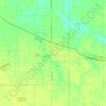
Name: Converse topographic map, elevation, terrain.

Location: Converse, Miami County, Indiana, United States (40.56891 -85.90331 40.58833 -85.84473)

Average elevation: 830 ft

Minimum elevation: 791 ft

Maximum elevation: 846 ft

Miami County trails, hiking, mountain biking, running and outdoor activities

Other topographic maps

Click on a map to view its topography, its elevation and its terrain.

Erie

United States > Indiana > Miami County

Average elevation: 784 ft

Miami

United States > Indiana > Miami County

Average elevation: 807 ft

Gear up for your next adventure:

🎁Geography Themed Gifts - Unique gift ideas for map lovers and geography enthusiasts
👟Men's Trail Runners - Lightweight footwear for fast-paced exploration and light hiking
🔦LED Headlamp - Bright and durable LED headlamp for night navigation
🥩Freeze-Dried Meals - Nutritious and lightweight food for remote expeditions
🌧️Backpack Rain Cover - Keep gear dry in wet weather

As an Amazon Associate, this site earns from qualifying purchases at no extra cost to you.