
Lyall Point topographic map
Click on the map to display elevation.
About this map
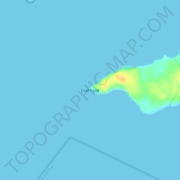
Name: Lyall Point topographic map, elevation, terrain.
Average elevation: 3 ft
Minimum elevation: 0 ft
Maximum elevation: 89 ft
Other topographic maps
Click on a map to view its topography, its elevation and its terrain.
Vargas Island
Canada > British Columbia > Alberni-Clayoquot Regional District > Area C (Long Beach)
Average elevation: 36 ft
Escalante River
Canada > British Columbia > Alberni-Clayoquot Regional District > Area C (Long Beach)
Average elevation: 1,375 ft
Clayoquot Sound
Canada > British Columbia > Alberni-Clayoquot Regional District > Area C (Long Beach)
Average elevation: 331 ft
Ahousaht
Canada > British Columbia > Alberni-Clayoquot Regional District > Area C (Long Beach)
Average elevation: 46 ft
Hot Springs Cove
Canada > British Columbia > Alberni-Clayoquot Regional District > Area C (Long Beach)
Average elevation: 49 ft
Barkley Sound
Canada > British Columbia > Alberni-Clayoquot Regional District > Area C (Long Beach)
Average elevation: 3 ft