
Loomis topographic map
Click on the map to display elevation.
About this map
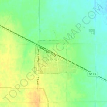
Name: Loomis topographic map, elevation, terrain.
Location: Loomis, Phelps County, Nebraska, United States (40.47392 -99.51350 40.48414 -99.50110)
Average elevation: 2,418 ft
Minimum elevation: 2,369 ft
Maximum elevation: 2,470 ft
Phelps County trails, hiking, mountain biking, running and outdoor activities
Other topographic maps
Click on a map to view its topography, its elevation and its terrain.