
Million topographic map
Click on the map to display elevation.
About this map
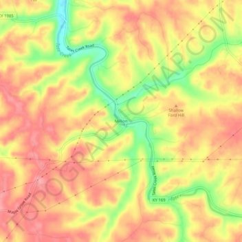
Name: Million topographic map, elevation, terrain.
Location: Million, Madison County, Kentucky, 49475, United States (37.75980 -84.40743 37.79980 -84.36743)
Average elevation: 866 ft
Minimum elevation: 659 ft
Maximum elevation: 984 ft
Madison County trails, hiking, mountain biking, running and outdoor activities
Other topographic maps
Click on a map to view its topography, its elevation and its terrain.
Berea
United States > Kentucky > Madison County
Berea is located on the border of the Cumberland Plateau. The area has a mountainous appearance, but most outcroppings in the area have a maximum elevation of 2,500 feet or 760 metres.
Average elevation: 984 ft
Fort Boonesborough State Park
United States > Kentucky > Madison County > Boonesborough
Average elevation: 774 ft
Berea
United States > Kentucky > Madison County
Berea is located on the border of the Cumberland Plateau. The area has a mountainous appearance, but most outcroppings in the area have a maximum elevation of 2,500 feet or 760 metres.
Average elevation: 984 ft