Geolocate

Lovington topographic map

Click on the map to display elevation.

About this map

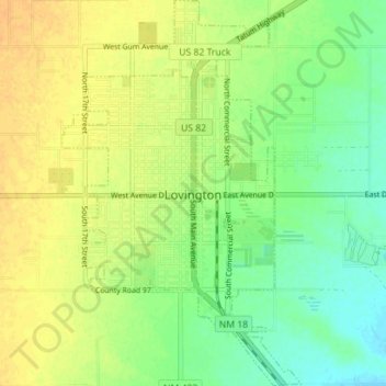
Name: Lovington topographic map, elevation, terrain.

Location: Lovington, Lea County, New Mexico, 88260, United States (32.91483 -103.37268 32.97378 -103.32898)

Average elevation: 3,917 ft

Minimum elevation: 3,868 ft

Maximum elevation: 3,957 ft

Lea County trails, hiking, mountain biking, running and outdoor activities

Other topographic maps

Click on a map to view its topography, its elevation and its terrain.

Arkansas Junction

United States > New Mexico > Lea County

Average elevation: 3,799 ft

Monument

United States > New Mexico > Lea County

Average elevation: 3,599 ft

Nadine

United States > New Mexico > Lea County

Average elevation: 3,589 ft

Gear up for your next adventure:

🔭Stargazing Telescopes - Perfect for camping in low-light pollution areas shown on maps
🧤Tactile Hiking Gloves - Keep hands warm while operating GPS and smartphone screens
🚪Portable Camp Chair - Foldable chair for comfort at camp
🗻Climbing Gear Basics - Essential gear for beginner climbers
🌡️Handheld Weather Meters - Measure wind, temp, and pressure for safe mountain travel

As an Amazon Associate, this site earns from qualifying purchases at no extra cost to you.