Make a donation
Gear up for your next adventure:
As an Amazon Associate, this site earns from qualifying purchases at no extra cost to you.
Arkansas Junction topographic map
Click on the map to display elevation.
Make a donation
Gear up for your next adventure:
As an Amazon Associate, this site earns from qualifying purchases at no extra cost to you.
About this map
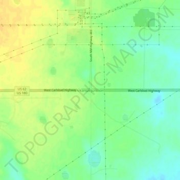
Name: Arkansas Junction topographic map, elevation, terrain.
Location: Arkansas Junction, Lea County, New Mexico, United States (32.67679 -103.37104 32.71679 -103.33104)
Average elevation: 3,799 ft
Minimum elevation: 3,757 ft
Maximum elevation: 3,839 ft
Lea County trails, hiking, mountain biking, running and outdoor activities
Make a donation
Gear up for your next adventure:
As an Amazon Associate, this site earns from qualifying purchases at no extra cost to you.
Other topographic maps
Click on a map to view its topography, its elevation and its terrain.
Make a donation
Gear up for your next adventure:
As an Amazon Associate, this site earns from qualifying purchases at no extra cost to you.
