
普雄镇 topographic map
Interactive map
Click on the map to display elevation.
About this map
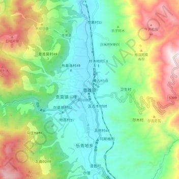
Name: 普雄镇 topographic map, elevation, terrain.
Location: 普雄镇, 越西县, 凉山彝族自治州, 四川省, 中国 (28.46129 102.60687 28.54129 102.68687)
Average elevation: 7,260 ft
Minimum elevation: 6,079 ft
Maximum elevation: 9,596 ft
Other topographic maps
Click on a map to view its topography, its elevation and its terrain.