
Avery topographic map
Click on the map to display elevation.
About this map
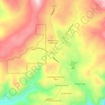
Name: Avery topographic map, elevation, terrain.
Location: Avery, Calaveras County, California, 95224, United States (38.18436 -120.38992 38.22436 -120.34992)
Average elevation: 3,474 ft
Minimum elevation: 2,566 ft
Maximum elevation: 4,144 ft
Calaveras County trails, hiking, mountain biking, running and outdoor activities
Other topographic maps
Click on a map to view its topography, its elevation and its terrain.
Calaveras Big Trees State Park
United States > California > Calaveras County
Average elevation: 4,511 ft
Rail Road Flat
United States > California > Calaveras County
This historic mining town, elevation 2,600 feet (788 m), was named after primitive mule-drawn ore cars used here. There was never actually a railroad here. The town was established in 1849. It was the site of an Indian council as well as the center of rich placer and quartz mining. Its largest producer was the…
Average elevation: 2,726 ft