Geolocate

Jackson topographic map

Click on the map to display elevation.

About this map

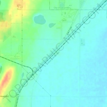
Name: Jackson topographic map, elevation, terrain.

Location: Jackson, Lacombe County, Alberta, T4L 1W1, Canada (52.43469 -113.76815 52.45469 -113.74815)

Average elevation: 2,812 ft

Minimum elevation: 2,776 ft

Maximum elevation: 2,913 ft

Gear up for your next adventure:

🧢Outdoor Hiking Hat - Sun protection hat for outdoor explorers
🧭GPS Watch Accessories - Bands and chargers for GPS watches
🔦Powerful Headlamps - Ultra-bright hands-free lighting for night navigation
🛡️Insect Repellent - Protection against bugs during outdoor activities
👟Men's Trail Runners - Lightweight footwear for fast-paced exploration and light hiking

As an Amazon Associate, this site earns from qualifying purchases at no extra cost to you.