
Thank you for supporting this site ❤️
Make a donation
Make a donation
Gear up for your next adventure:
As an Amazon Associate, this site earns from qualifying purchases at no extra cost to you.
Dana topographic map
Click on the map to display elevation.
Thank you for supporting this site ❤️
Make a donation
Make a donation
Gear up for your next adventure:
As an Amazon Associate, this site earns from qualifying purchases at no extra cost to you.
About this map
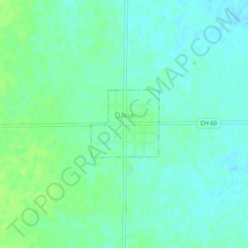
Name: Dana topographic map, elevation, terrain.
Location: Dana, LaSalle County, Illinois, United States (40.95305 -88.95537 40.96045 -88.94555)
Average elevation: 669 ft
Minimum elevation: 653 ft
Maximum elevation: 689 ft
LaSalle County trails, hiking, mountain biking, running and outdoor activities
Thank you for supporting this site ❤️
Make a donation
Make a donation
Gear up for your next adventure:
As an Amazon Associate, this site earns from qualifying purchases at no extra cost to you.
Other topographic maps
Click on a map to view its topography, its elevation and its terrain.
Lower Fox River - Blakes Landing Nature Preserve
United States > Illinois > LaSalle County > Blakes
Average elevation: 597 ft