
Thank you for supporting this site ❤️
Make a donation
Make a donation
Gear up for your next adventure:
As an Amazon Associate, this site earns from qualifying purchases at no extra cost to you.
Unterbrunnenreuth topographic map
Click on the map to display elevation.
Thank you for supporting this site ❤️
Make a donation
Make a donation
Gear up for your next adventure:
As an Amazon Associate, this site earns from qualifying purchases at no extra cost to you.
About this map
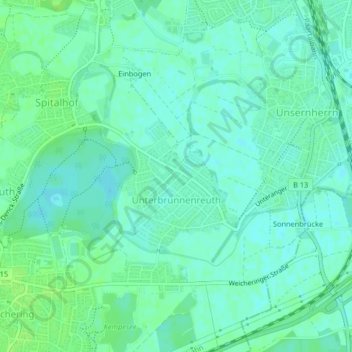
Name: Unterbrunnenreuth topographic map, elevation, terrain.
Location: Unterbrunnenreuth, Süd, Ingolstadt, Bayern, Deutschland (48.71542 11.41809 48.72920 11.43461)
Average elevation: 1,211 ft
Minimum elevation: 1,194 ft
Maximum elevation: 1,224 ft
Thank you for supporting this site ❤️
Make a donation
Make a donation
Gear up for your next adventure:
As an Amazon Associate, this site earns from qualifying purchases at no extra cost to you.
Other topographic maps
Click on a map to view its topography, its elevation and its terrain.