Geolocate

Binyayan topographic map

Click on the map to display elevation.

About this map

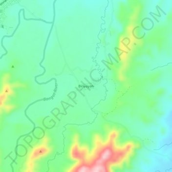
Name: Binyayan topographic map, elevation, terrain.

Location: Binyayan, Capas, Tarlac, Central Luzon, 2315, Philippines (15.31337 120.46053 15.35337 120.50053)

Average elevation: 459 ft

Minimum elevation: 272 ft

Maximum elevation: 928 ft

Other topographic maps

Click on a map to view its topography, its elevation and its terrain.

Tambo Lake

Philippines > Tarlac > Capas

Average elevation: 958 ft

O' Donnel River

Philippines > Tarlac > Capas

Average elevation: 728 ft

Capas National Shrine

Philippines > Tarlac > Capas > Cristo Rey

Average elevation: 210 ft

Gear up for your next adventure:

🎒Trail Energy Bars - High‑calorie bars for hiking energy
🧥Men's Rain Shells - Premium waterproof and breathable jackets for mountain weather
Backpacking Tent - Lightweight and durable tent for multi‑day hikes
🛡️Insect Repellent - Protection against bugs during outdoor activities
🔭Compact Binoculars - HD vision for scouting terrain and identifying distant landmarks

As an Amazon Associate, this site earns from qualifying purchases at no extra cost to you.