Geolocate

Pedro topographic map

Click on the map to display elevation.

About this map

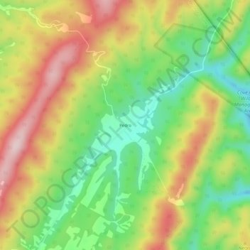
Name: Pedro topographic map, elevation, terrain.

Location: Pedro, Monroe County, West Virginia, 24936, United States (37.64290 -80.33451 37.68290 -80.29451)

Average elevation: 2,651 ft

Minimum elevation: 2,178 ft

Maximum elevation: 3,199 ft

Other topographic maps

Click on a map to view its topography, its elevation and its terrain.

Union

United States > West Virginia > Monroe County

Average elevation: 2,100 ft

Peterstown

United States > West Virginia > Monroe County

Average elevation: 1,775 ft

Gear up for your next adventure:

🌲Outdoor Survival Books - Best books on survival skills
🛠️Outdoor Gear Repair Kit - Essential tools to fix gear on the trail
🔭Telescopic Hiking Pole - Adjustable pole for hiking stability
🥤Water Filter Bottle - All‑in‑one filter bottle for safe hydration
🎁Geography Themed Gifts - Unique gift ideas for map lovers and geography enthusiasts

As an Amazon Associate, this site earns from qualifying purchases at no extra cost to you.