Geolocate

Ice topographic map

Click on the map to display elevation.

About this map

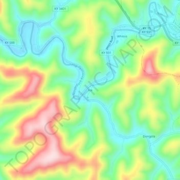
Name: Ice topographic map, elevation, terrain.

Location: Ice, Letcher County, Kentucky, 41858, United States (37.08760 -82.88016 37.12760 -82.84016)

Average elevation: 1,460 ft

Minimum elevation: 1,073 ft

Maximum elevation: 2,083 ft

Other topographic maps

Click on a map to view its topography, its elevation and its terrain.

Whitesburg

United States > Kentucky > Letcher County

Average elevation: 1,463 ft

Whitesburg

United States > Kentucky > Letcher County

Average elevation: 1,463 ft

Jenkins

United States > Kentucky > Letcher County

Average elevation: 1,936 ft

Gear up for your next adventure:

🏕️Family Camping Gear - Essentials for group camping trips
🧣Merino Neck Gaiters - Multi-functional headwear for wind and sun protection
🍳Camping Cook Set - Complete cookware for outdoor meals
🎒Day Hiking Backpack - Lightweight backpack perfect for day trips and outdoor adventures
🥩Freeze-Dried Meals - Nutritious and lightweight food for remote expeditions

As an Amazon Associate, this site earns from qualifying purchases at no extra cost to you.