Geolocate

Mount Carleton topographic map

Click on the map to display elevation.

About this map

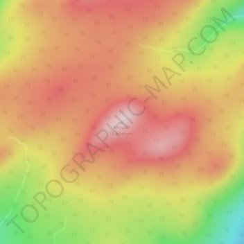
Name: Mount Carleton topographic map, elevation, terrain.

Location: Mount Carleton, Northesk Parish, Greater Miramichi Rural District, Northumberland County, New Brunswick, Canada (47.37795 -66.87596 47.37805 -66.87586)

Average elevation: 2,156 ft

Minimum elevation: 1,430 ft

Maximum elevation: 2,608 ft

Other topographic maps

Click on a map to view its topography, its elevation and its terrain.

Gear up for your next adventure:

🧴Hand Sanitizer - Keep hands clean while hiking
🖼️Topo Map Wall Art - Decorative topographic prints of famous peaks and regions
🗺️Topographic Maps - Detailed topo maps for hiking, exploring and outdoor navigation
🛏️Cold Weather Sleeping Bag - Warm sleeping bag for cold conditions
🔥Camping Stove - Portable stove for camping and backcountry cooking

As an Amazon Associate, this site earns from qualifying purchases at no extra cost to you.