
Beilngries topographic map
Click on the map to display elevation.
About this map
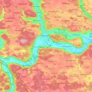
Name: Beilngries topographic map, elevation, terrain.
Location: Beilngries, Landkreis Eichstätt, Bavaria, 92339, Germany (48.95162 11.38549 49.08770 11.59514)
Average elevation: 1,575 ft
Minimum elevation: 1,175 ft
Maximum elevation: 1,886 ft
Other topographic maps
Click on a map to view its topography, its elevation and its terrain.
Kevenhüll
Germany > Bavaria > Landkreis Eichstätt > Beilngries > Kevenhüll
Average elevation: 1,585 ft