Geolocate

Stettler topographic map

Click on the map to display elevation.

About this map

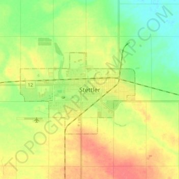
Name: Stettler topographic map, elevation, terrain.

Location: Stettler, Town of Stettler, Alberta, T0C 2L2, Canada (52.28287 -112.75302 52.36287 -112.67302)

Average elevation: 2,687 ft

Minimum elevation: 2,602 ft

Maximum elevation: 2,782 ft

Gear up for your next adventure:

🎒Waterproof Dry Bags - Keep your electronics and maps dry inside your pack
🪶Trail Camera - Capture wildlife on your hikes
🚑Emergency Bivvies - Heat-reflective sleeping bags for survival situations
🌡️Handheld Weather Meters - Measure wind, temp, and pressure for safe mountain travel
🧥Waterproof Jacket for Hiking - Breathable and rugged rain jacket for outdoor excursions

As an Amazon Associate, this site earns from qualifying purchases at no extra cost to you.