
Lothal topographic map
Interactive map
Click on the map to display elevation.
About this map
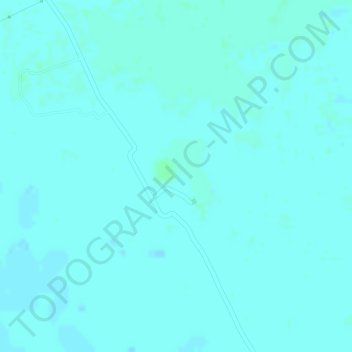
Name: Lothal topographic map, elevation, terrain.
Location: Lothal, SH1, Dholka Taluka, Ahmedabad District, Gujarat, India (22.52263 72.24926 22.52273 72.24936)
Average elevation: 33 ft
Minimum elevation: 26 ft
Maximum elevation: 43 ft
Other topographic maps
Click on a map to view its topography, its elevation and its terrain.
Palanpur
India > Gujarat > Palanpur Taluka
Palanpur is located at 24°06′N 72°15′E / 24.10°N 72.25°E / 24.10; 72.25. It has an average elevation of 209 metres (685 ft).
Average elevation: 715 ft