
Basalt topographic map
Interactive map
Click on the map to display elevation.
About this map
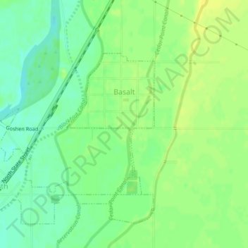
Name: Basalt topographic map, elevation, terrain.
Location: Basalt, Bingham County, Idaho, 83218, United States (43.30428 -112.17310 43.31967 -112.15986)
Average elevation: 4,587 ft
Minimum elevation: 4,551 ft
Maximum elevation: 4,616 ft
Bingham County trails, hiking, mountain biking, running and outdoor activities
Other topographic maps
Click on a map to view its topography, its elevation and its terrain.