
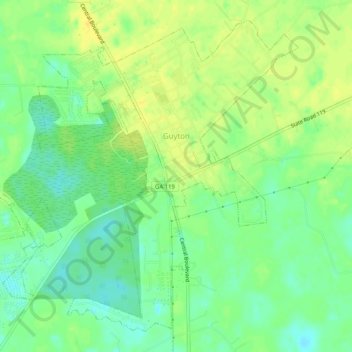
Guyton topographic map
Interactive map
Click on the map to display elevation.
About this map
Name: Guyton topographic map, elevation, terrain.
Location: Guyton, Effingham County, Georgia, United States (32.31234 -81.50041 32.36395 -81.37383)
Average elevation: 85 ft
Minimum elevation: 23 ft
Maximum elevation: 135 ft
Effingham County trails, hiking, mountain biking, running and outdoor activities
Other topographic maps
Click on a map to view its topography, its elevation and its terrain.