
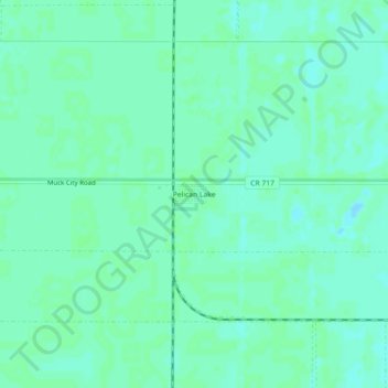
Pelican Lake topographic map
Interactive map
Click on the map to display elevation.
About this map
Name: Pelican Lake topographic map, elevation, terrain.
Average elevation: 13 ft
Minimum elevation: -3 ft
Maximum elevation: 20 ft
Palm Beach County trails, hiking, mountain biking, running and outdoor activities
Other topographic maps
Click on a map to view its topography, its elevation and its terrain.
Loxahatchee Groves
United States > Florida > Palm Beach County
The area now known as Loxahatchee Groves was originally a portion of the 2,000,000 acres (8,100 km2) of land purchased by the Southern States Land and Timber Company in 1902. After the West Palm Beach Canal (C-51), which connected Lake Okeechobee at Canal Point to West Palm Beach, was completed in 1917, George…
Average elevation: 30 ft
Lake Clarke Shores
United States > Florida > Palm Beach County
In the early 1930s, Zeb Vance Hooker and his family became the first settlers in modern-day Lake Clarke Shores by squatting in a wooden shack on land by the southeast side of Lake Clarke. In 1946, Patsy Renolds built a house where Antigua Road stands today and is the oldest home in Lake Clarke Shores. By the…
Average elevation: 26 ft
Morikami Museum and Japanese Gardens
United States > Florida > Palm Beach County > Delray Beach
Average elevation: 30 ft