
Gulf Stream topographic map
Click on the map to display elevation.
About this map
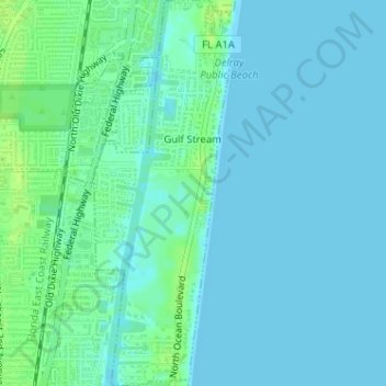
Name: Gulf Stream topographic map, elevation, terrain.
Location: Gulf Stream, Palm Beach County, Florida, United States (26.47537 -80.06328 26.50397 -80.05169)
Average elevation: 13 ft
Minimum elevation: 0 ft
Maximum elevation: 46 ft
Palm Beach County trails, hiking, mountain biking, running and outdoor activities
Other topographic maps
Click on a map to view its topography, its elevation and its terrain.
Caribbean Key
United States > Florida > Palm Beach County > Boca Raton > Caribbean Key
Average elevation: 16 ft
Loxahatchee Groves
United States > Florida > Palm Beach County > Loxahatchee Groves
Average elevation: 30 ft
Morikami Museum and Japanese Gardens
United States > Florida > Palm Beach County > Delray Beach
Average elevation: 30 ft