
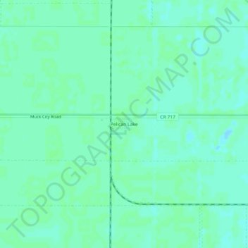
Pelican Lake topographic map
Interactive map
Click on the map to display elevation.
About this map
Name: Pelican Lake topographic map, elevation, terrain.
Average elevation: 13 ft
Minimum elevation: -3 ft
Maximum elevation: 20 ft
Palm Beach County trails, hiking, mountain biking, running and outdoor activities
Other topographic maps
Click on a map to view its topography, its elevation and its terrain.
Loxahatchee Groves
United States > Florida > Palm Beach County
The area now known as Loxahatchee Groves was originally a portion of the 2,000,000 acres (8,100 km2) of land purchased by the Southern States Land and Timber Company in 1902. After the West Palm Beach Canal (C-51), which connected Lake Okeechobee at Canal Point to West Palm Beach, was completed in 1917, George…
Average elevation: 30 ft
Lake Clarke Shores
United States > Florida > Palm Beach County
In the early 1930s, Zeb Vance Hooker and his family became the first settlers in modern-day Lake Clarke Shores by squatting in a wooden shack on land by the southeast side of Lake Clarke. In 1946, Patsy Renolds built a house where Antigua Road stands today and is the oldest home in Lake Clarke Shores. By the…
Average elevation: 26 ft
Morikami Museum and Japanese Gardens
United States > Florida > Palm Beach County > Delray Beach
Average elevation: 30 ft
Palm Beach
United States > Florida > Palm Beach County
Palm Beach is one of the easternmost towns in Florida, though the state's easternmost point is in Palm Beach Shores, just north of Lake Worth Inlet. The town is on an 18-mile (29 km) long barrier island between the Intracoastal Waterway (locally known as the Lake Worth Lagoon) on the west and the Atlantic…
Average elevation: 13 ft