
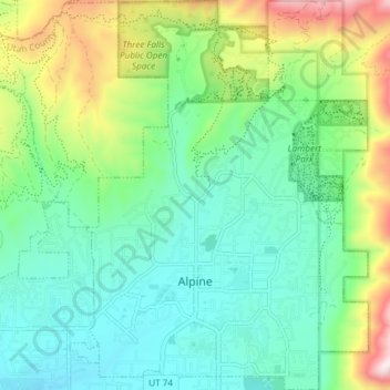
Alpine topographic map
Interactive map
Click on the map to display elevation.
About this map
Name: Alpine topographic map, elevation, terrain.
Location: Alpine, Utah County, Utah, 84004, United States (40.43746 -111.79872 40.49403 -111.74485)
Average elevation: 5,459 ft
Minimum elevation: 4,806 ft
Maximum elevation: 7,129 ft
Utah County trails, hiking, mountain biking, running and outdoor activities
Other topographic maps
Click on a map to view its topography, its elevation and its terrain.