
Sahara City topographic map
Interactive map
Click on the map to display elevation.
About this map
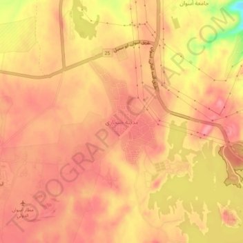
Name: Sahara City topographic map, elevation, terrain.
Location: Sahara City, Aswan, Egypt (23.95700 32.82714 23.99700 32.86714)
Average elevation: 607 ft
Minimum elevation: 374 ft
Maximum elevation: 686 ft
Other topographic maps
Click on a map to view its topography, its elevation and its terrain.