
Boyo topographic map
Interactive map
Click on the map to display elevation.
About this map
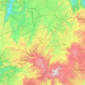
Name: Boyo topographic map, elevation, terrain.
Location: Boyo, Northwest, Cameroon (6.10043 10.06894 6.71472 10.56976)
Average elevation: 4,308 ft
Minimum elevation: 1,247 ft
Maximum elevation: 9,813 ft
Other topographic maps
Click on a map to view its topography, its elevation and its terrain.