
Yên Minh District topographic map
Interactive map
Click on the map to display elevation.
About this map
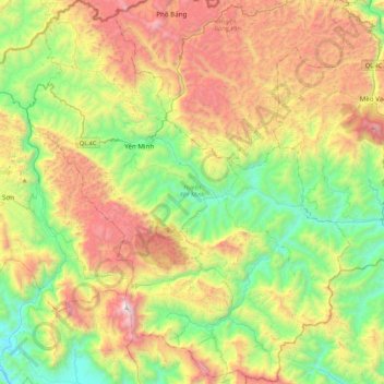
Name: Yên Minh District topographic map, elevation, terrain.
Location: Yên Minh District, Hà Giang Province, 20318, Vietnam (22.87499 104.95822 23.26692 105.38459)
Average elevation: 3,081 ft
Minimum elevation: 374 ft
Maximum elevation: 7,316 ft
Other topographic maps
Click on a map to view its topography, its elevation and its terrain.