
Newcastle topographic map
Interactive map
Click on the map to display elevation.
About this map
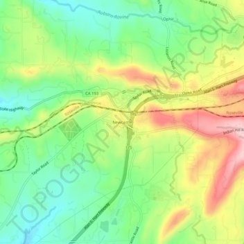
Name: Newcastle topographic map, elevation, terrain.
Location: Newcastle, Placer County, California, 95658, United States (38.85407 -121.15328 38.89407 -121.11328)
Average elevation: 840 ft
Minimum elevation: 558 ft
Maximum elevation: 1,243 ft
Placer County trails, hiking, mountain biking, running and outdoor activities
Other topographic maps
Click on a map to view its topography, its elevation and its terrain.
North Tahoe Regional Park
United States > California > Placer County > Tahoe Vista
Average elevation: 6,585 ft