
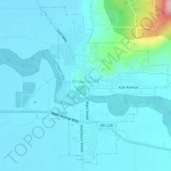
Brownsville topographic map
Interactive map
Click on the map to display elevation.
About this map
Name: Brownsville topographic map, elevation, terrain.
Location: Brownsville, Linn County, Oregon, 97327, United States (44.38038 -122.99881 44.40519 -122.96661)
Average elevation: 381 ft
Minimum elevation: 305 ft
Maximum elevation: 1,010 ft
Linn County trails, hiking, mountain biking, running and outdoor activities
Other topographic maps
Click on a map to view its topography, its elevation and its terrain.