
Auxier topographic map
Interactive map
Click on the map to display elevation.
About this map
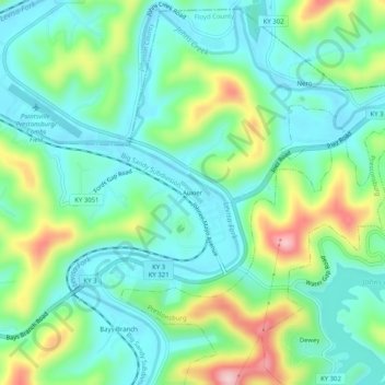
Name: Auxier topographic map, elevation, terrain.
Location: Auxier, Floyd County, Kentucky, 41216, United States (37.71704 -82.77821 37.75704 -82.73821)
Average elevation: 801 ft
Minimum elevation: 587 ft
Maximum elevation: 1,339 ft
Floyd County trails, hiking, mountain biking, running and outdoor activities
Other topographic maps
Click on a map to view its topography, its elevation and its terrain.