
Rainier topographic map
Interactive map
Click on the map to display elevation.
About this map
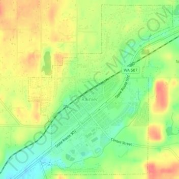
Name: Rainier topographic map, elevation, terrain.
Location: Rainier, Thurston County, Washington, 98576, United States (46.87966 -122.70292 46.90530 -122.67109)
Average elevation: 469 ft
Minimum elevation: 371 ft
Maximum elevation: 568 ft
Thurston County trails, hiking, mountain biking, running and outdoor activities
Other topographic maps
Click on a map to view its topography, its elevation and its terrain.