
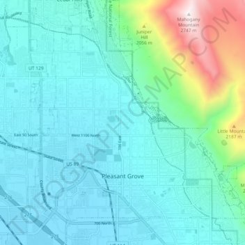
Pleasant Grove topographic map
Interactive map
Click on the map to display elevation.
About this map
Name: Pleasant Grove topographic map, elevation, terrain.
Location: Pleasant Grove, Utah County, Utah, 84062, United States (40.34450 -111.77416 40.41383 -111.69623)
Average elevation: 5,279 ft
Minimum elevation: 4,501 ft
Maximum elevation: 8,983 ft
Utah County trails, hiking, mountain biking, running and outdoor activities
Other topographic maps
Click on a map to view its topography, its elevation and its terrain.