Geolocate

Boston topographic maps

Click on a map to view its topography, its elevation and its terrain.

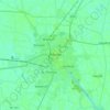
Boston

United Kingdom > England > Lincolnshire > Boston > Boston

Average elevation: 13 ft

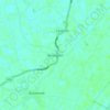
Benington

United Kingdom > England > Lincolnshire > Boston

Average elevation: 13 ft

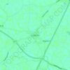
Sutterton

United Kingdom > England > Lincolnshire > Boston

Average elevation: 13 ft

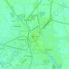
Boston

United Kingdom > England > Lincolnshire > Boston

Average elevation: 13 ft

Kirton CP

United Kingdom > England > Lincolnshire > Boston

Average elevation: 13 ft

Fishtoft

United Kingdom > England > Lincolnshire > Boston

Average elevation: 13 ft

About this place

Gear up for your next adventure:

🛠️Backpacking Tool Kit - Essential toolkit for outdoor repairs
☕Camping Coffee Makers - Enjoy premium coffee at the summit or campsite
🗃️Trail First Aid Kit - Essential kit for outdoor injuries and emergencies
🌡️Portable Weather Meter - Track weather conditions on the trail
⌚Solar GPS Watches - Advanced multisport watches with built-in topographic maps

As an Amazon Associate, this site earns from qualifying purchases at no extra cost to you.