Los Angeles topographic maps
Click on a map to view its topography, its elevation and its terrain.
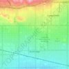
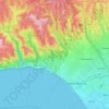
Pacific Palisades
United States > California > Los Angeles County > Los Angeles
Pacific Palisades was formally founded in 1921 by a Methodist organization, and in the years that followed became a refuge for Jewish artists and intellectuals fleeing the Holocaust. The Palisades would later be sought after by celebrities and other high-profile individuals seeking privacy. It is known for its…
Average elevation: 643 ft
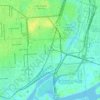
Thenard
United States > California > Los Angeles County > Los Angeles > Thenard
Average elevation: 26 ft
Mission Junction
United States > California > Los Angeles County > Los Angeles
Average elevation: 338 ft
Mount Lukens
United States > California > Los Angeles County > Los Angeles
It is in the Sunland-Tujunga community within the northeast corner of the city of Los Angeles, above the Crescenta Valley. The summit, at 5,075 feet (1,547 m) in elevation, is the highest point within the city limits. The summit's elevation makes Los Angeles the city with the largest difference between high…
Average elevation: 3,858 ft
Santa Ynez Reservoir
United States > California > Los Angeles County > Los Angeles
Average elevation: 1,007 ft
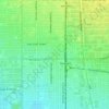
Augustus F. Hawkins Natural Park
United States > California > Los Angeles County > Los Angeles
Average elevation: 180 ft

Los Angeles River
United States > California > Los Angeles County > Los Angeles
Average elevation: 797 ft
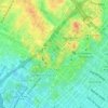
Maguire Gardens
United States > California > Los Angeles County > Los Angeles
Average elevation: 325 ft
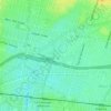
Genesee Avenue Park
United States > California > Los Angeles County > Los Angeles
Average elevation: 108 ft
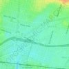
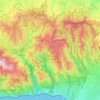
Topanga State Park
United States > California > Los Angeles County > Los Angeles
Average elevation: 1,093 ft
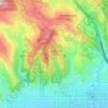
Runyon Canyon Park
United States > California > Los Angeles County > Los Angeles
Average elevation: 771 ft

Hollywood Hills
United States > California > Los Angeles County > Los Angeles
Average elevation: 794 ft
West Hills Neighborhood Council District
United States > California > Los Angeles County > Los Angeles
Average elevation: 1,047 ft
Los Angeles City Council District 7
United States > California > Los Angeles County > Los Angeles
Average elevation: 1,680 ft
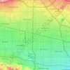
Los Angeles City Council District 6
United States > California > Los Angeles County > Los Angeles
Average elevation: 827 ft

Los Angeles City Council District 5
United States > California > Los Angeles County > Los Angeles
Average elevation: 430 ft