Geolocate

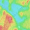
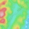
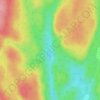
Trois-Rives topographic maps

Click on a map to view its topography, its elevation and its terrain.
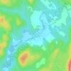
Saint-Joseph-de-Mékinac

Canada > Quebec > Mékinac > Trois-Rives

Average elevation: 538 ft

Lac Dawson

Canada > Quebec > Mékinac > Trois-Rives

Average elevation: 1,109 ft

Lac Cadotte

Canada > Quebec > Mékinac > Trois-Rives

Average elevation: 696 ft

Lac Larue

Canada > Quebec > Mékinac > Trois-Rives

Average elevation: 1,096 ft

Gear up for your next adventure:

🌧️Backpack Rain Cover - Keep gear dry in wet weather
🌲Outdoor Survival Books - Best books on survival skills
⌚Solar GPS Watches - Advanced multisport watches with built-in topographic maps
🏕️Tent Footprint - Protect your tent base from wear
🎁Geography Themed Gifts - Unique gift ideas for map lovers and geography enthusiasts

As an Amazon Associate, this site earns from qualifying purchases at no extra cost to you.