Geolocate

Springwater topographic maps

Click on a map to view its topography, its elevation and its terrain.
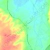
Elmvale

Canada > Ontario > Simcoe County > Springwater

Average elevation: 735 ft

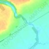
Phelpston

Canada > Ontario > Simcoe County > Springwater

Average elevation: 725 ft

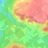
Hillsdale

Canada > Ontario > Simcoe County > Springwater

Average elevation: 843 ft

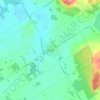
Minesing

Canada > Ontario > Simcoe County > Springwater

Average elevation: 643 ft

Midhurst

Canada > Ontario > Simcoe County > Springwater

Average elevation: 837 ft

Gear up for your next adventure:

🗺️Topographic Maps - Detailed topo maps for hiking, exploring and outdoor navigation
🪶Camping Sleeping Pad - Comfortable sleeping pad for backpacking
🏕️Tent Footprint - Protect your tent base from wear
🪶Compact Camp Shovel - Folding shovel for campsite tasks
🦶Carbon Trekking Poles - Reduce knee impact on steep descents with ultra-light poles

As an Amazon Associate, this site earns from qualifying purchases at no extra cost to you.