
Liberty Square topographic map
Click on the map to display elevation.
About this map
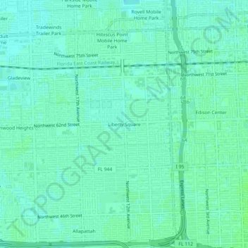
Name: Liberty Square topographic map, elevation, terrain.
Average elevation: 30 ft
Minimum elevation: 16 ft
Maximum elevation: 39 ft
Miami-Dade County trails, hiking, mountain biking, running and outdoor activities
Other topographic maps
Click on a map to view its topography, its elevation and its terrain.
Alice C Wainwright Park
United States > Florida > Miami-Dade County > Miami > Brickell Hammock
Average elevation: 20 ft